
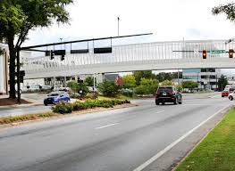
Emissions from motor vehicles are the number one source for greenhouse gases in Hall County, according to a new tool that affords anyone in any county a way to track them.
The latest report is for July and shows transportation is by far the leading sources of the pollutant here followed by industrial, residential, commercial, and agricultural.
GHG Emissions Tracker – Drawdown Georgia
Developed by Georgia Tech professors, the interactive map allows users to filter publicly available greenhouse gas estimates by county, month, year, and energy sector. Users can specify whether the emissions come from transportation, agriculture, commercial, forestry, residential, or industrial sources and counter with how much carbon is absorbed by trees and soils.
“The purpose of the tracker is to bring technology to bear on climate solutions,” said William Drummond, an associate professor in the School of City & Regional Planning and the lead behind the tracker. “This is the first time there has been effort to downscale emissions to the local level in a dynamic way we can update every month.”
The initiative is part of a trifold effort in Drawdown Georgia, a Ray C. Anderson Foundation–funded project across state universities to decrease reliance on carbon inspired by the national program Project Drawdown.
Ultimately, the researchers hope to inspire everyday Georgians to get involved in combatting climate change. With the public’s familiarity with Covid-19 case trackers, Drummond believes the tracker is accessible to most users, from regular citizens unsure how to help the environment to high school science students.