
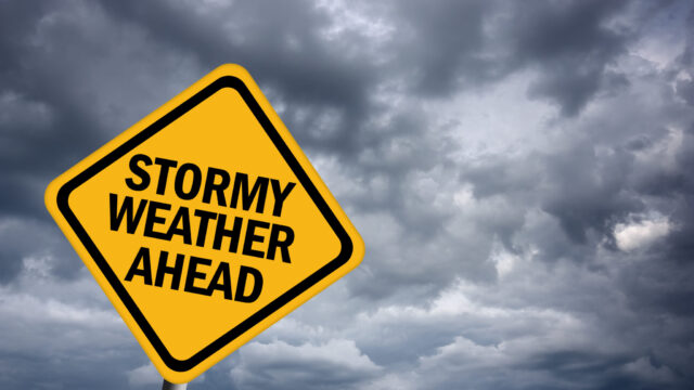
A powerful storm system is expected to impact north and central Georgia tonight through Tuesday night.
The National Weather Service (NWS) says this system will bring several types of hazardous weather — the first being strong to severe thunderstorms with damaging wind gusts and the potential for tornadoes.
“Heavy rainfall and the risk for localized flash flooding and river flooding, especially in urban areas and poor-drainage areas,” forecasters warn. “A High Wind Watch will go into effect on Monday night for portions of north Georgia. Stay tuned to upcoming forecast updates as a Wind Advisory may be needed for other portions of north and central Georgia.”
Wind gusts of 30-40 mph are predicted for Gainesville and surrounding areas with 40-50 mph gusts possible for the higher elevations of northeast Georgia such as Blairsville, Clayton, and Ellijay.