
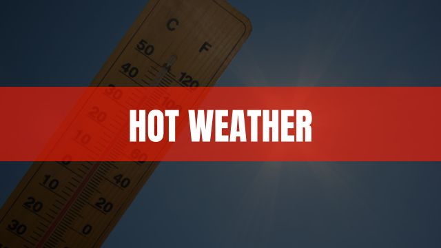
Heat will increase across the area over the weekend into next week with dangerous heat index values expected, forecasters with the National Weather Service (NWS) said Thursday.
“Plan to take heat precautions during this time and check on the vulnerable and those without air conditioning or adequate cooling,” the advisory said.
Triple-digit “feels like” temperatures are expected “across the board” in north Georgia through Tuesday, with some readings as high as 112 in places.
But the NWS, in its 7–14-day outlook says there is a 40-60 percent chance of at, or below normal temperatures the first couple of weeks in August.
Oh, and did you notice – as of today, Christmas is just five months down the road.
But for the next seven days, here’s the Gainesville area outlook:
Friday
A 20 percent chance of showers and thunderstorms after 2pm. Sunny, with a high near 92. Heat index values as high as 97. West wind around 5 mph becoming south in the afternoon.
Friday Night
Mostly clear, with a low around 74. Southwest wind around 5 mph.
Saturday
Sunny, with a high near 95. Heat index values as high as 99. West wind around 5 mph.
Saturday Night
Mostly clear, with a low around 76. Northwest wind around 5 mph.
Sunday
Sunny and hot, with a high near 97.
Sunday Night
Mostly clear, with a low around 77.
Monday
Sunny and hot, with a high near 100.
Monday Night
Mostly clear, with a low around 77.
Tuesday
A 20 percent chance of showers and thunderstorms after 2pm. Sunny and hot, with a high near 99.
Tuesday Night
A 10 percent chance of showers and thunderstorms. Mostly clear, with a low around 77.
Wednesday
A 20 percent chance of showers and thunderstorms. Sunny and hot, with a high near 99.
Wednesday Night
A 20 percent chance of showers and thunderstorms. Partly cloudy, with a low around 76.
Thursday
A 40 percent chance of showers and thunderstorms. Mostly sunny and hot, with a high near 97.