
The threat for severe storms and very heavy rainfall continues to increase Saturday evening and overnight, the National Weather Service (NWS) said Thursday in its latest advisory on the approaching stormy weather.
And the easternmost edge of the area expected to get hit hardest has been moved even farther east, and now tuns from Clayton-to-Toccoa-to-near Augusta-to-near Statesboro-to-near Vidalia.
“Tornadoes, damaging winds, flash flooding and large hail will be possible,” the advisory says.
“NOW is the time to start making preparations for the weather: clear out the safe areas in home (lowest floor away from windows), keep shoes and a helmet in your safe area, and ensure you have necessary medication, food and water in case you lose power or can’t travel. ready.gov/tornadoes
Stay tuned to a trusted source for the latest information and ensure you have at least three ways to receive alerts, forecasts and warnings from the National Weather Service! #dontbescared#beprepared#gawx
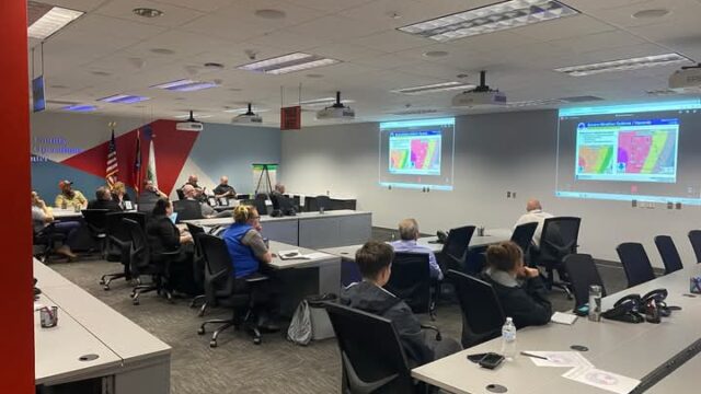
The weather service held a virtual briefing on the expected stormy weather Thursday afternoon for Emergency Management Agencies (EMAs) around the state.
(Photo courtesy the Forsyth County EMA.)